 World port guideFree in your browser
JPAM Berthwise
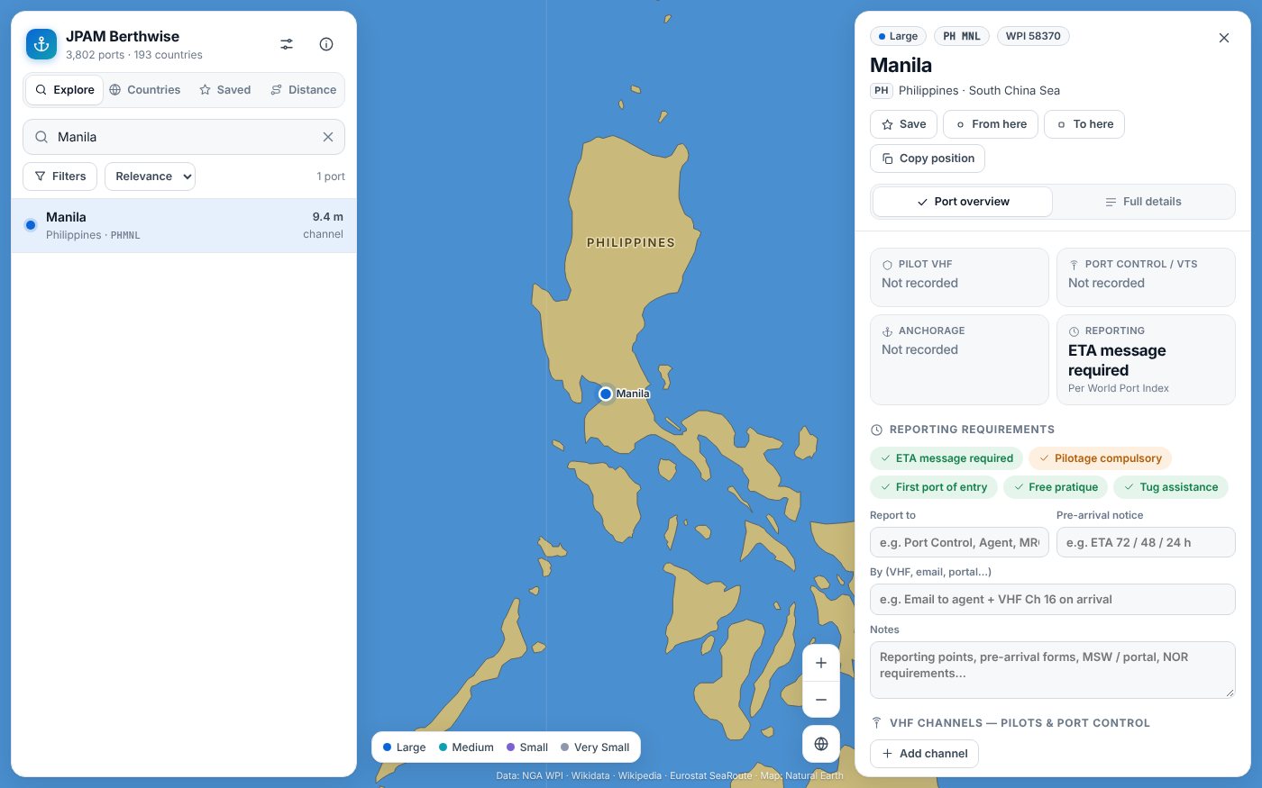
Look up any of 3,802 ports in 193 countries before you arrive: how to approach and enter, charted depths and vessel size limits, cargo facilities, services and supplies, contacts and NAVTEX stations, with sea distances between ports.
- Free to use
- No account required
- Works offline
Everything in one place.
Entry at a glance
Pilotage, tugs, quarantine, ETA messages, first port of entry, and entrance restrictions such as tide, swell and ice for every port.
Depths and size limits
Channel, anchorage and cargo pier depths, tidal range, and the largest vessel length, beam and draft each port takes.
Facilities and supplies
Cargo facilities, cranes and lifts, repairs and dry docks, fuel, water and provisions, medical care and waste disposal.
Contacts, NAVTEX and distances
Official websites and contacts where known, the NAVTEX stations that cover the port, and sea-route distances between any two ports.
Three steps and you’re in.
Find the port
Search by name, UN/LOCODE or country, or tap a port on the map. Filter by size, depth and facilities.
Read the entry guide
Open a port for its overview, full details, nearby ports and NAVTEX stations. Save the ports you call at, with your own notes.
Measure the passage
On the Distance tab, choose two ports for the sea-route distance and time at your speed, with or without Suez and Panama.
Take a look.
Select a picture to enlarge it. Use the arrow keys or swipe to move between pictures.
Free in your browser
Free to use in your browser, with no ads or account. Works offline after your first visit.
Not for navigation. Port data comes from the NGA World Port Index and may be out of date. Check current charts, Sailing Directions, Notices to Mariners and the port authority or your agent before arrival. Privacy policy.